Our last stop was Arkaroola, a wilderness sanctuary in the Flinders Ranges. We landed at a private airstrip in Balcanoona and were picked up by staff from Arkaroola and taken to the sanctuary. It is quite unlike anything I've ever visited and was just amazing. The accommodation was fantastic - we stayed in the Mawson wing so Huffle is very impressed - and the food once again was tremendous.
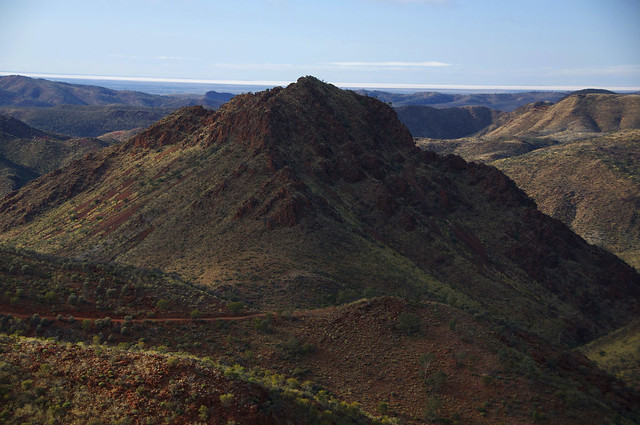
Early the next morning we did their famous ridge top 4WD tour and there is a good reason it's famous in the region. Wow. This is the view from the first look out post.
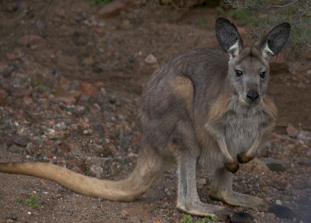
We saw a Wallaroo - which is a cross between a Wallaby and a Kangaroo.
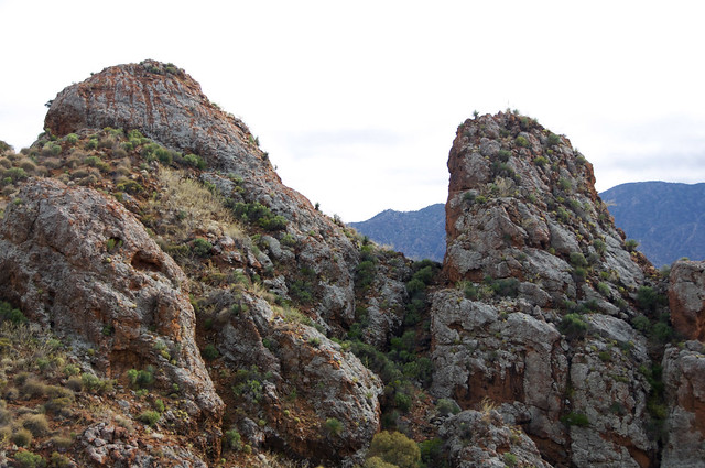
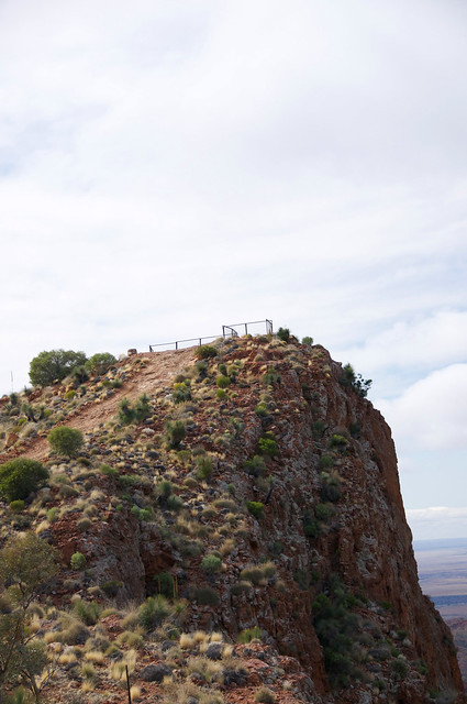
This is Sillers Lookout, which is the highest point the 4WD goes up. The view from up there was amazing. We had morning tea at the top, admiring the view.
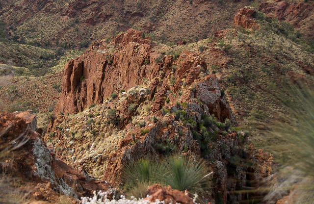
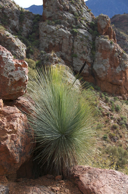
There are quite a lot of native plants to be seen - one of the most impressive is the Xantheria, or Black Boy.
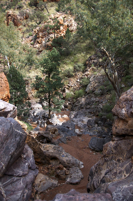
Our final stop on the tour was to see the dry waterfall, which would look positively wonderful with water. It's very picturesque when it's dry!
After we got back to the lodge we drove back to the plane and began the long flight home. We stopped in Mildura for fuel and made it home just after 6pm on Friday.
We covered 3,049 kilometres on this trip and did the whole lot in three days. There is just no way you could cover that distance in that time in a car so flying was definitely the way to go. I do recommend it.
There are a few more pictures in my FlickR photostream, just click on any of the pictures above and you will be taken there. I hope you enjoyed your outback Australian tour as much as I did!
Saturday, August 20, 2011
Flinders Ranges
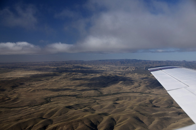
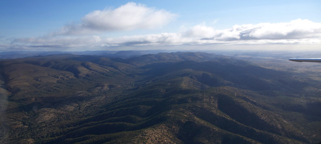
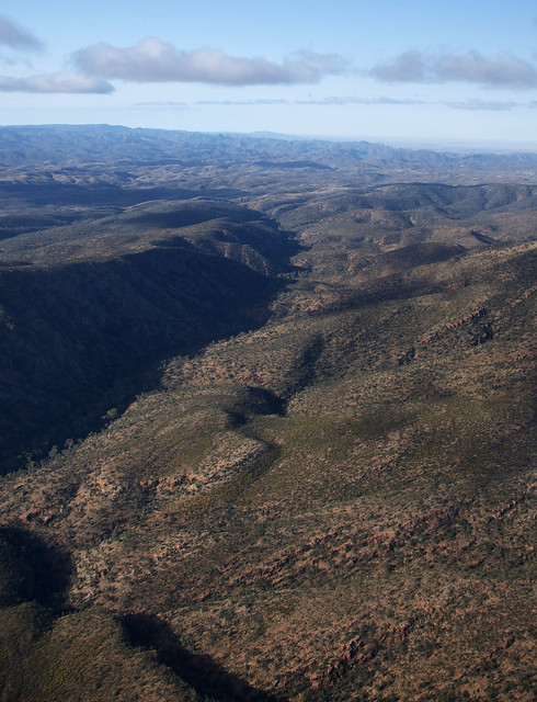
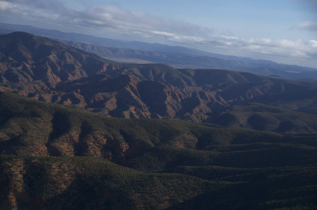
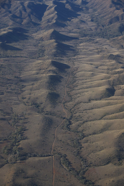
After leaving the vast openness of Lake Eyre, we flew over the Flinders Ranges on our way to our next stop. Again, these were all taken from the plane.
The Flinders Ranges seem to rise out of nothing, because on either side of them there are vast areas of flat land. Quite amazing really.
Talk about a road to nowhere...
The Flinders Ranges seem to rise out of nothing, because on either side of them there are vast areas of flat land. Quite amazing really.
Talk about a road to nowhere...
Lake Eyre
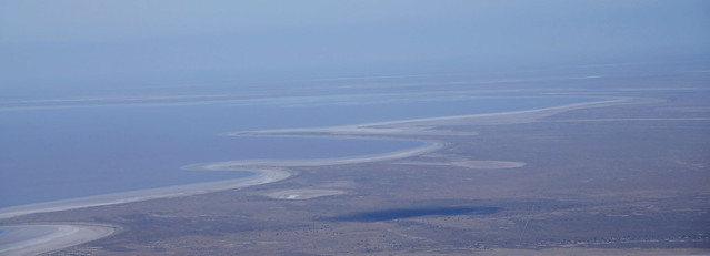
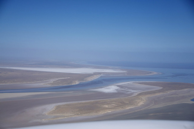
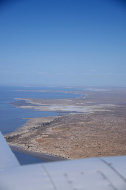
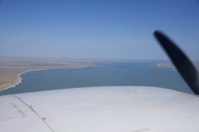
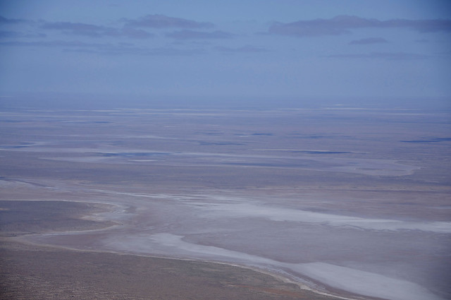
Our next flight was over Lake Eyre itself. As you can see from the map, it is very big and covers an enormous area. The lake is usually dry but due to extreme rain in northern Australia over the past three years, has actually had water in it for nearly three years. The water is starting to evaporate now, and the lake is only 60% full. When it's dry, it is just a huge expanse of dry salt flats.
These photos are all taken from the plane, apologies for unscheduled propeller appearances.
This is where the water has already started drying out.
These photos are all taken from the plane, apologies for unscheduled propeller appearances.
This is where the water has already started drying out.
Coopers Creek
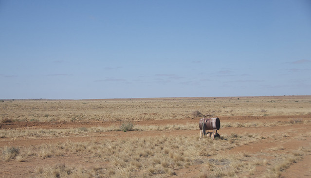
Our next stop was Cooper Creek along the Birdsville Track. The Birdsville Track is a dirt road that runs through central Australia and there are always MANY people in their four-wheel-drive vehicles driving along it.
This is the view from the Birdsville Track.
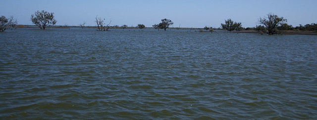
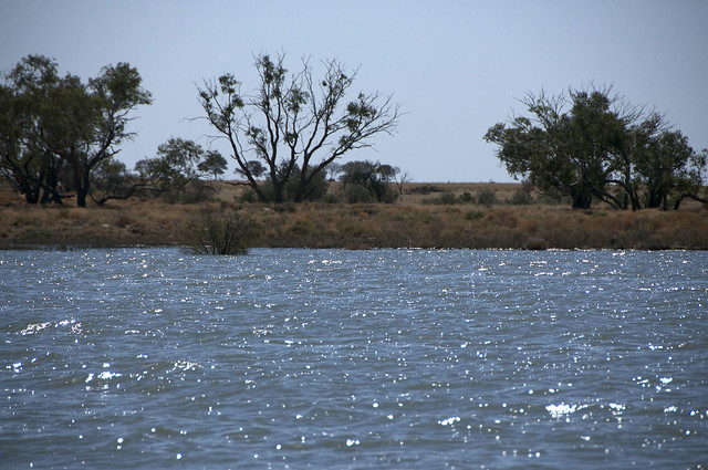
We landed at a private airstrip and took a bus to Coopers Creek, where we went on a boat cruise. The last time there was water in the creek was 1980. And now there are lakes and flooded areas everywhere you look.
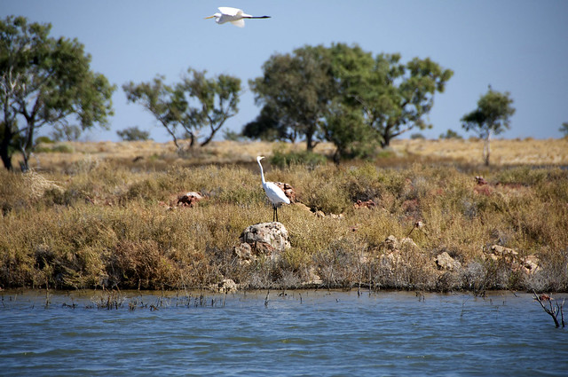
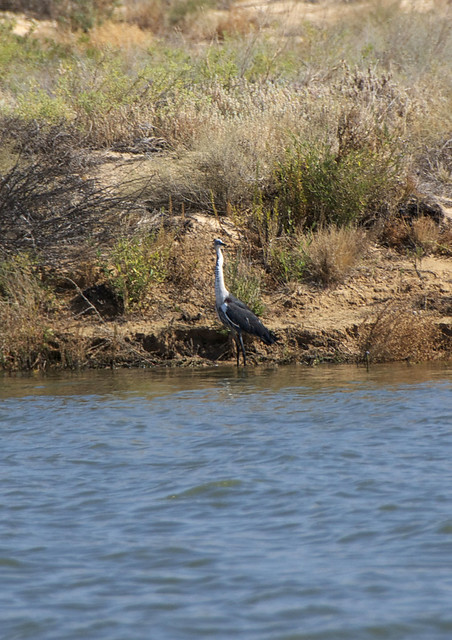
Somehow, the birds seem to know when the water is there, and they all come flocking back for the season. I don't know what birds these all are (aside from the pelicans) but there were plenty to be seen.
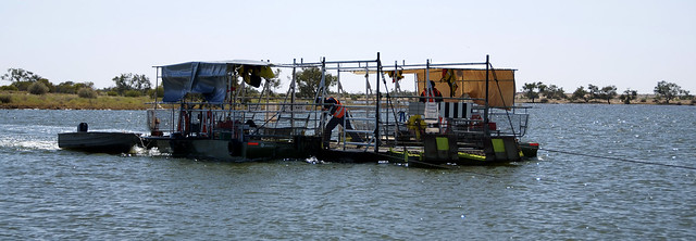
When the Birdsville Track is flooded, as it is at the moment, cars are not permitted to drive down it but must detour and get ferried across the creek on the punt.
It's big enough to hold one car/4WD and a towed caravan or boat.
Birdsville
Our next stop, and our overnight location was Birdsville. Birdsville is an iconic outback Australian town in Queensland. There isn't a lot there but they do have a racetrack and the Birdsville Races are held every year at the end of August. The resident population of Birdsville is about 120 but more than 8,500 people came for the races two years ago. Last year there were only 5,000 visitors for the races as the town was flooded and cut off by road - the only way in or out was by plane.
We stayed at the Birdsville Hotel for the night, and after making friends with the locals in the bar, had a thoroughly delicious dinner. The accommodation was surprisingly good and we slept very well.
The next morning we took a tour of the Birdsville Working Museum, which is possibly more famous for the character who runs it than the collection itself, and then we got back in the plane to head to our next destination.
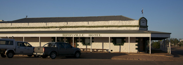
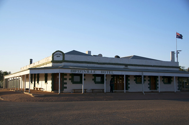
This is the Birdsville Hotel, the only pub and accommodation in town.
We stayed at the Birdsville Hotel for the night, and after making friends with the locals in the bar, had a thoroughly delicious dinner. The accommodation was surprisingly good and we slept very well.
The next morning we took a tour of the Birdsville Working Museum, which is possibly more famous for the character who runs it than the collection itself, and then we got back in the plane to head to our next destination.
Innamincka
Our first real stop on this tour was Innamincka, in South Australia. That was after stopping in Broken Hill for fuel, but we only got to see the airport for 10 minutes so it doesn't count.
Innamincka doesn't have a lot going for it, as the resident population is about six people. It used to be a Customs stop between South Australia and New South Wales way back in the day when there was a charge to be paid for crossing the border, but now it's just another stop on the way to Birdsville and through to central Australia.
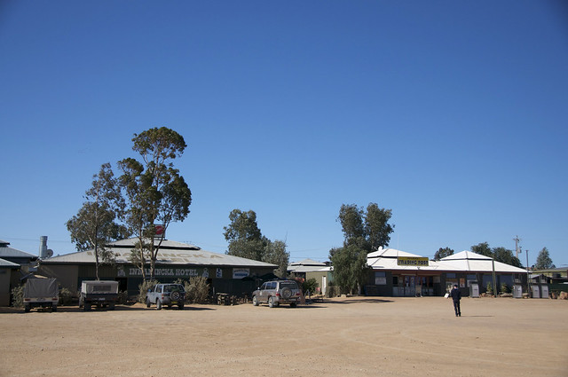
This is the main street. The Innamincka Hotel (accommodation for $2 per night in the low season) and the trading post/general store/petrol station.
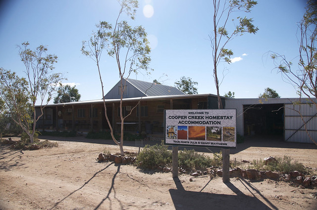
We had lunch at a home stay farm which was lovely.
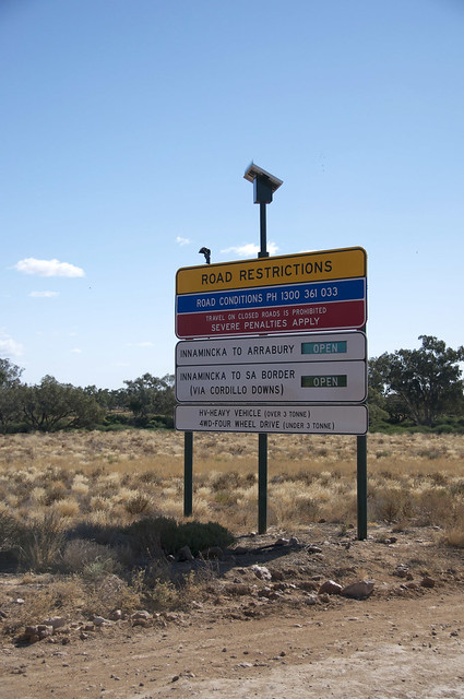
After lunch we wandered down the road to the creek, which had flooded earlier in the year. Only in Australia do you see road signs like this:
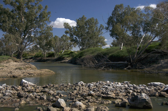
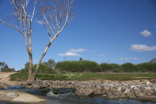
This is Coopers Creek which flooded and cut the town off for several days.
Innamincka is essentially in a desert but the recent flooding is what allowed the grass to grow so green.
You can see the height the water reached on the tree - the brown mark to half way up shows the high water mark.
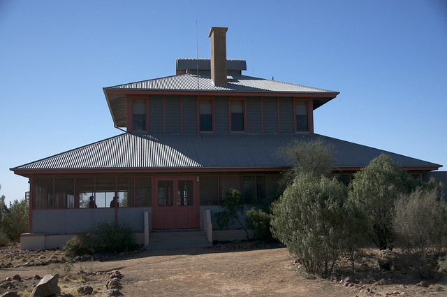
This is the original nursing home in Innamincka which has been restored and is now used as the park rangers station and as an information centre.
You would think from the blue sky and bright sunshine that it was very hot but actually it was cool enough to wear a jacket most of the day. In the summer though, the temperature regularly tops 40 deg C for days at a time.
Lake Eyre Outback Australia tour
We've just returned from our most recent holiday - a light plane tour of outback Australia, specifically to see Lake Eyre, which is a massive inland lake that only has water in it once every 30 years or so.
This is a map of the Lake Eyre basin so you can see how big it is.
We travelled with a company called Kirkhope Aviation, in a Piper Chieftan plane which seats 10 people in total. There were five others on our trip, and our pilot/tourguide Tony. If you ever get the chance to travel to this part of Australia, I highly recommend travelling with Kirkhope, as they were wonderful.
I've broken these posts up into actual places stayed or visited, to make it easier to follow. They are in the order visited.
Subscribe to:
Comments (Atom)

